What is NEW? Click on the “Project Updates” tab!
Background
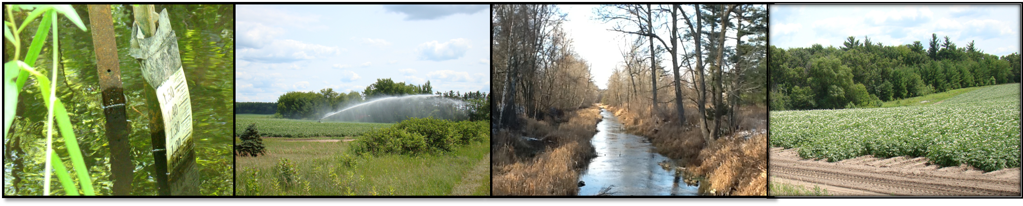
Wisconsin’s Central Sands region spans Adams, Marathon, Marquette, Portage, Shawano, Waupaca, Waushara, and Wood Counties. The region includes 800 miles of trout streams and over 300 lakes which are important recreational and ecological resources. Irrigation is an important component of the economic vitality of the region and supports production of potatoes, sweet corn, snap beans, cranberries, and other vegetables. The source of the irrigation is groundwater pumped from relatively shallow high-capacity wells in the sandy aquifer, and the number of wells is increasing every year.
Groundwater and surface water are well-connected in the Central Sands region, and many people are concerned about the possible impacts of irrigated agriculture on surface-water resources and groundwater levels. Although most water users, regulatory officials, and citizens in Central Wisconsin recognize the links between groundwater pumping, groundwater levels, lake levels, and stream flows, there is currently disagreement over cause/effect relationships and over potential management actions performed to mitigate low flows and lake stages.
Study Objectives
- This project will develop a groundwater flow and optimization model to provide scientific support for water- and land-use management decisions in the Little Plover River Basin and adjacent areas.
- The project will serve as a way to evaluate techniques that might, if successful, later be expanded to the entire Central Sands region and to other parts of Wisconsin.
- The model will also be an educational tool for fostering science-based discussion for both the public and the technical community.
Project Approach
This project is constructing a groundwater flow model for the Little Plover River Basin and surrounding area shown here. A groundwater flow model provides a fundamental science basis for land-use decisions. It is a scientific tool for understanding the complexities of geology, groundwater recharge and discharge, surface-water flow, well development and use, and water balance. A model can simulate the complex temporal and spatial interactions among streamflow, pumping, and climate and also provide users “what-if” evaluations of possible decisions involving management of water use or land-use changes. The Little Plover River Basin was chosen for this pilot study because the river has been the focus of recent management concern and because a great deal of hydrogeologic data already exists for this area.